


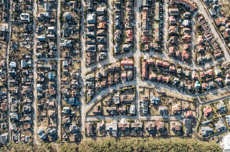





An urban edge is a spatial-policy boundary used to guide settlement growth. It is different from zoning. Being inside the boundary does not automatically permit development, and being outside it does not answer every question about appropriate rural uses.
Start with the adopted spatial plan
Identify the municipal spatial development framework and any relevant local plan. Confirm the document’s status, adoption date, map legend and how the boundary relates to the erf or farm portion. A draft review or proposed expansion is not the same as an adopted plan. Small-scale maps may also require clarification at property level.
Keep three separate questions in view
| Question | What to establish |
|---|---|
| What does the spatial policy support? | The intended development pattern and any urban-edge or rural policy relevant to the site. |
| What rights does the property have? | The zoning, lawful existing uses, title conditions and previous approvals. |
| What can actually be delivered? | The physical site, access, services, environmental requirements and the project’s feasibility. |
Treat “future development land” carefully
A seller’s expectation that land will enter the urban edge is not an approval. Ask which adopted policy, decision or application supports the claim and what remains uncertain. Check whether only part of the property is affected, whether the proposed use is supported and whether services can reach the site at an acceptable cost.
Illustrative example: part of a farm is shown near an anticipated growth area. That may justify further investigation, but it does not confirm residential zoning, a particular number of units or available sewer capacity. The purchase should be tested against confirmed existing rights as well as the hoped-for future scenario.
What about a property outside the edge?
The nature and scale of the intended activity matter. Agricultural operations, rural tourism, additional accommodation or other proposals must be assessed against the actual zoning, spatial policies and applicable requirements. Environmental, agricultural-land, water, heritage and roads matters may need separate specialist or authority input. Avoid assuming either that all development is prohibited or that rural zoning gives broad permission for a different use.
Questions to resolve before detailed design
- Which adopted maps and policies apply to this exact property?
- Is the proposed use supported in this location, and what applications would it require?
- Are there title, agricultural, environmental or heritage constraints?
- What access and infrastructure would be required, and who would fund them?
- Would a smaller proposal or a different site achieve the objective with less uncertainty?
Save the relevant plan names, dates and map extracts, alongside the zoning and a written explanation of your proposal. Ask for a planning assessment that distinguishes confirmed rights, policy support and matters needing an application or further evidence.
Related planning advice
General South African planning guidance. Updated 29 October 2026. Requirements depend on the applicable municipal or council planning controls, approval history and property. Confirm the current position before committing to work or a purchase.